The Karakoram 8,000ers: A Reference Table
Pakistan is commonly described as having five 8,000-metre peaks. That is true, but it obscures a geographical point worth keeping straight: only four of them are in the Karakoram. The fifth, Nanga Parbat, is the western anchor of the Himalaya, separated from the Karakoram by the Indus.
| Peak | Height | Range | First ascent |
|---|---|---|---|
| K2 | 8,611 m | Karakoram | 1954 |
| Nanga Parbat | 8,126 m | Himalaya | 1953 |
| Gasherbrum I | 8,080 m | Karakoram | 1958 |
| Broad Peak | 8,051 m | Karakoram | 1957 |
| Gasherbrum II | 8,034 m | Karakoram | 1956 |
Where the numbers come from, and why they move
Published elevations vary by a few metres between sources, and this is normal rather than sloppy. Heights derive from different surveys, different eras and different reference surfaces, and a mountain measured by triangulation in the twentieth century may differ slightly from the same mountain measured by satellite.
Broad Peak is a good example: 8,051 m is the most widely used figure, but 8,047 m appears regularly in Spanish and Italian sources. Both are defensible. Neither is a mistake. When a report cites an unfamiliar figure, the useful question is which survey it is drawing on, not which number is correct.
The Concordia cluster
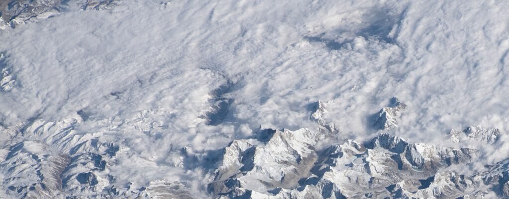
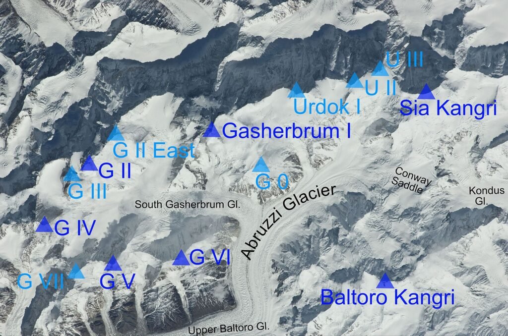
What makes the Karakoram unusual is not the individual heights but the density. Three of these four peaks, together with Gasherbrum IV at 7,925 m and a crowd of other giants, ring a single glacier basin. Standing at Concordia, where the Godwin-Austen and Baltoro glaciers meet, you are within sight of an assembly of high mountains matched almost nowhere else.
By comparison, the Nepalese 8,000ers are spread across the length of the country. The Karakoram concentrates them, which is why a single trek up one glacier system delivers so much of the range.
K2 in particular
K2 is 237 m lower than Everest and by every meaningful measure a harder mountain. It is steeper from every side, it has no straightforward route, it is further from help, and its weather is more volatile. It has historically carried one of the highest fatality-to-summit ratios among the 8,000ers, though the ratio has improved as traffic, fixed ropes and forecasting have changed the mountain’s character.
It also resisted winter far longer than any other 8,000er. The first winter ascent came only in January 2021, by a Nepali team, decades after the other thirteen had fallen.
The names
K2 is the only major peak in the world still universally known by a survey designation. It was recorded as the second measured summit of the Karakoram during the nineteenth-century survey, and unlike its neighbours it had no widely used local name to displace the label, largely because it is not visible from any inhabited valley. Attempts to popularise alternatives have never taken.
Gasherbrum, by contrast, is a local name applied to a group, which is why the peaks carry numbers within it. Gasherbrum I is also called Hidden Peak, having been invisible from the approach until observers rounded the corner into the upper basin.
Using these figures
For planning, treat the heights as fixed and the conditions as variable. For reporting, cite the survey. Where accounts disagree by a handful of metres, the disagreement is usually about measurement history rather than about the mountain. Long-run ascent and fatality data for the region is compiled by projects such as the Himalayan Database, which remains the standard reference for the wider high-altitude record.